
Barrington Tops National Park
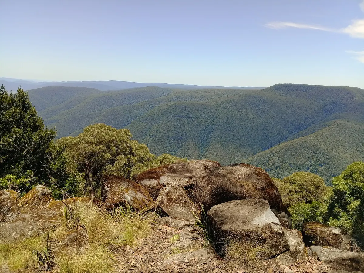
A high plateau and its steep slopes in the Hunter region, rising from subtropical rainforest in the valleys to snow gums and subalpine swamps on the tops at about 1,500 m. It is part of the Gondwana Rainforests World Heritage Area.
In the Gloucester Tops, short walks lead through Antarctic beech forest, draped in moss, to the Gloucester Falls. The Barrington Tops Forest Road crosses the plateau, with lookouts, camping areas and trout streams, and is often closed or icy in winter. The Williams River area near Dungog has rainforest walks along clear rivers, and the Allyn River is good for swimming. Look out for lyrebirds, wombats and platypus.
The park is about three hours' drive north of Sydney. Weather on the tops can change fast, with cold, fog and snow at any time of year, so bring warm clothes. Many roads are unsealed.


Comments
No comments yet.